Pleasant Pastures
Kaleidoscope Gallery 2024
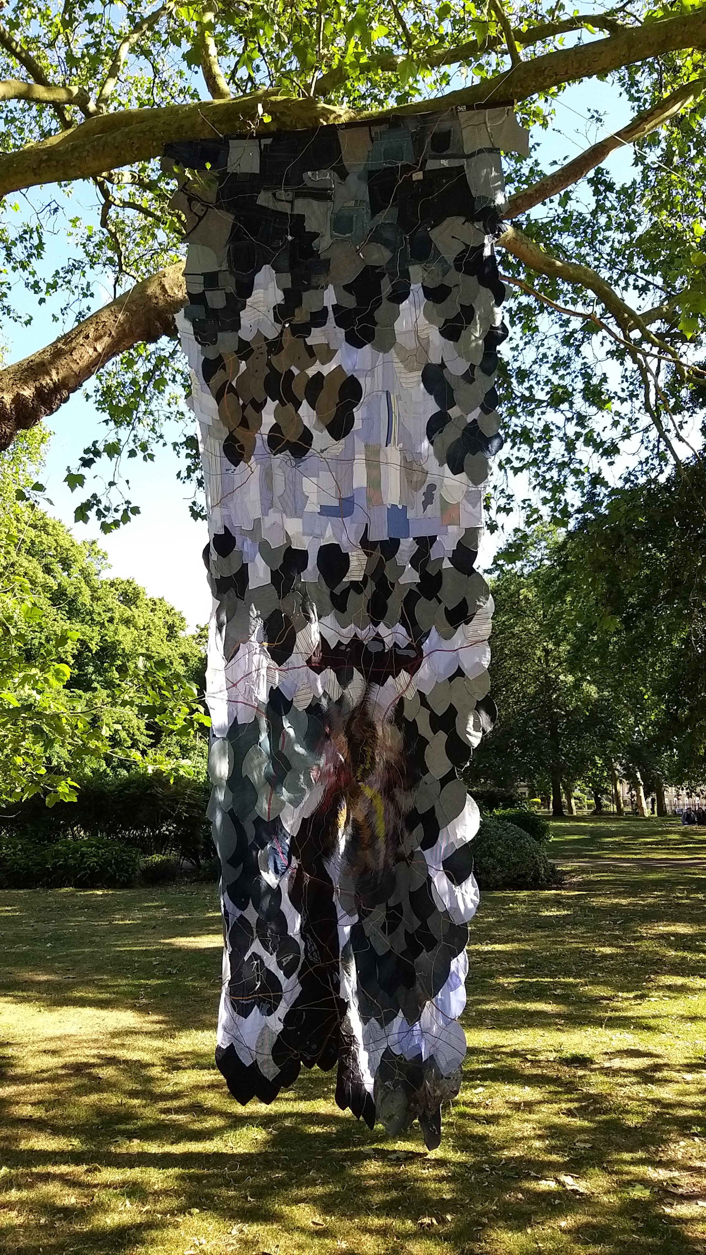
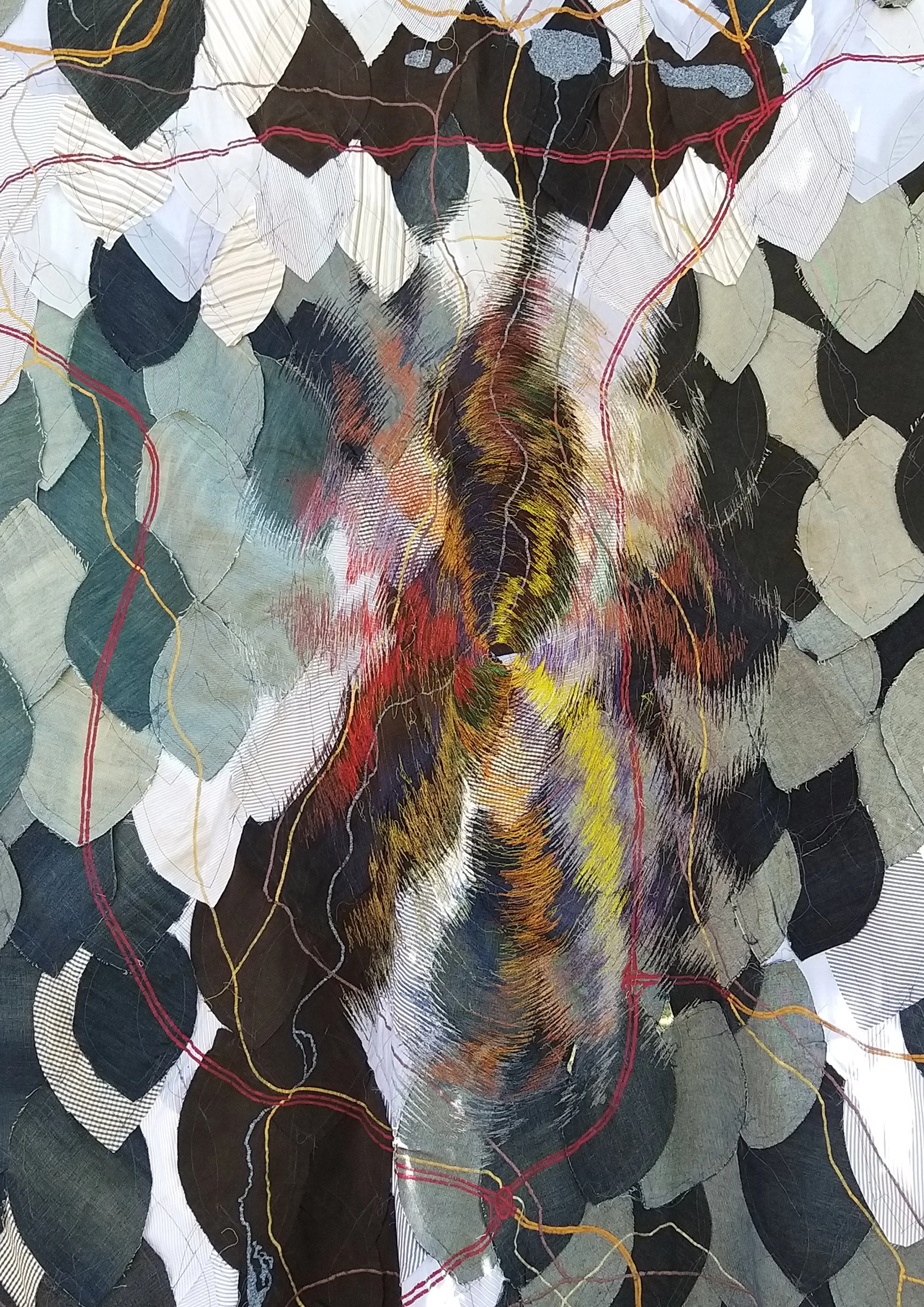
This lockdown project explores place and belonging. It is a topographical map of the Darenth Valley, North Kent Downs and High Weald where the artist was born and spent his childhood.
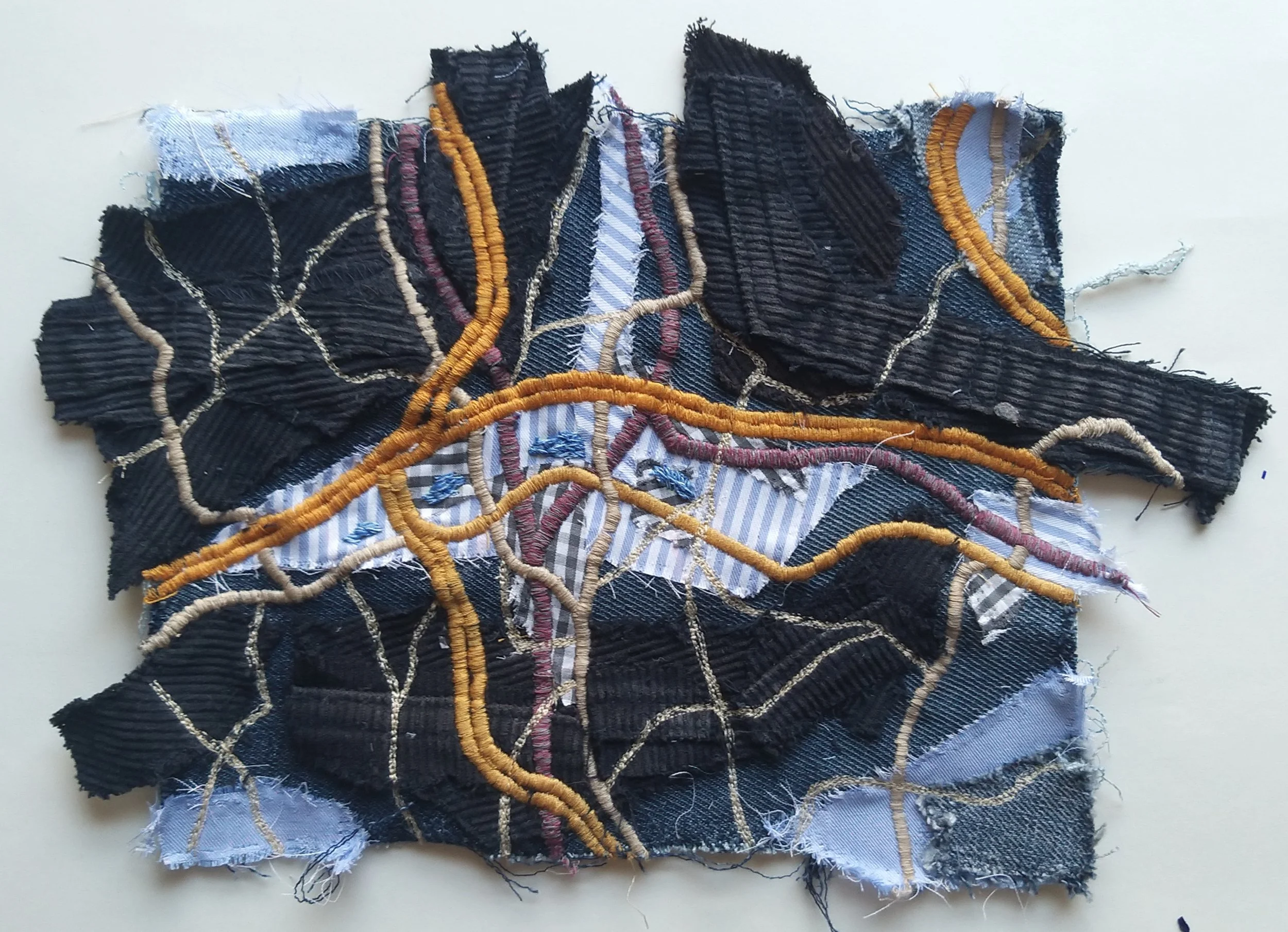
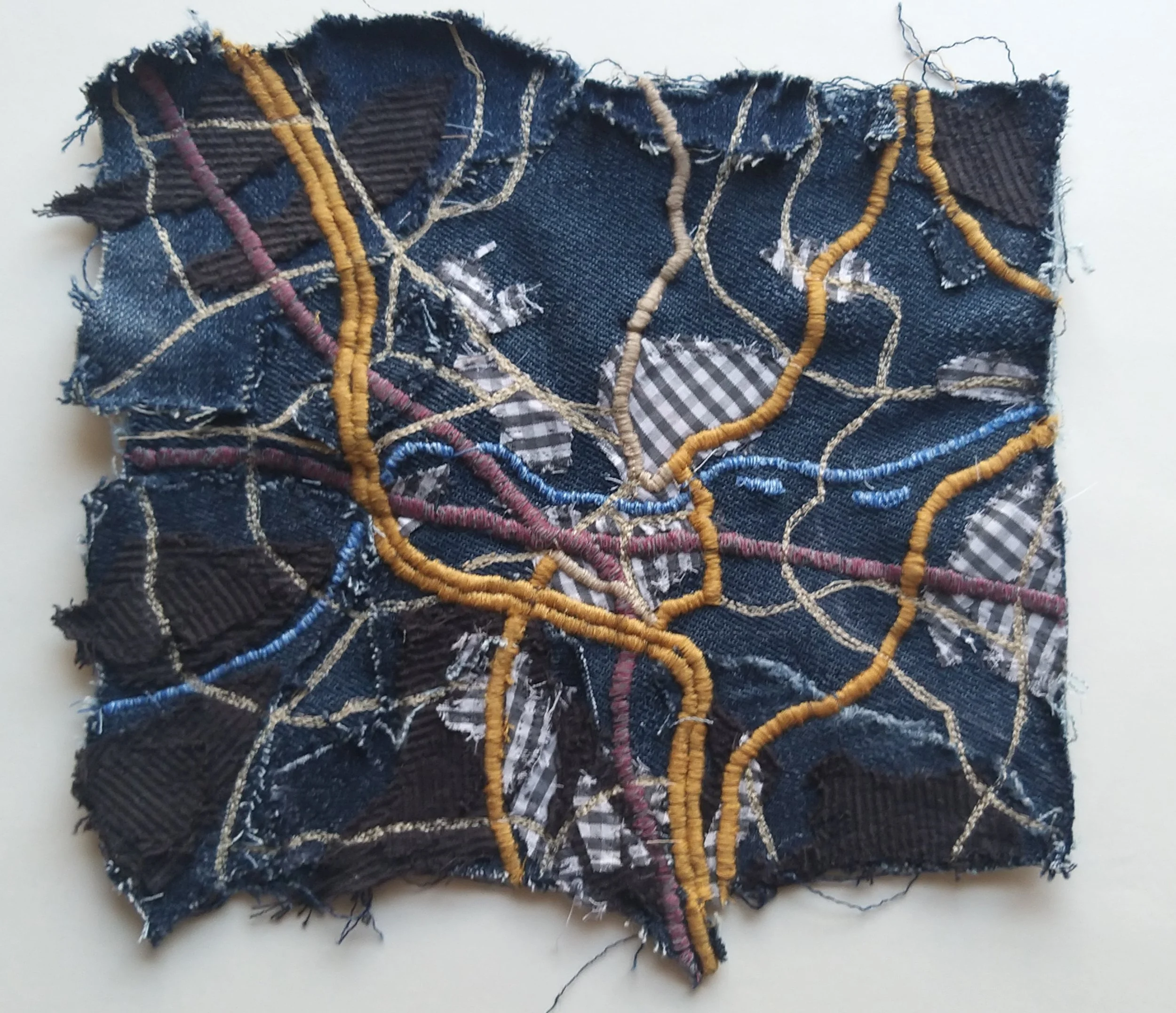
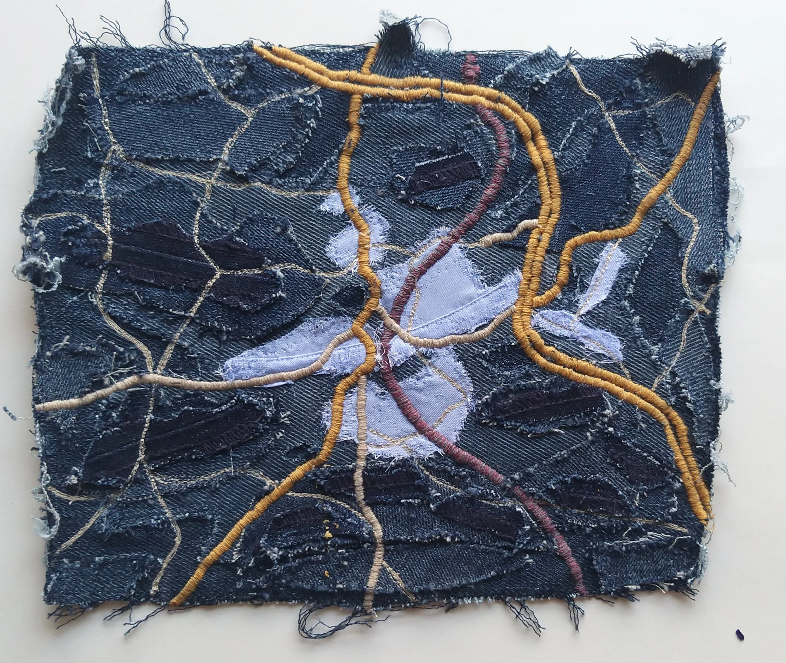
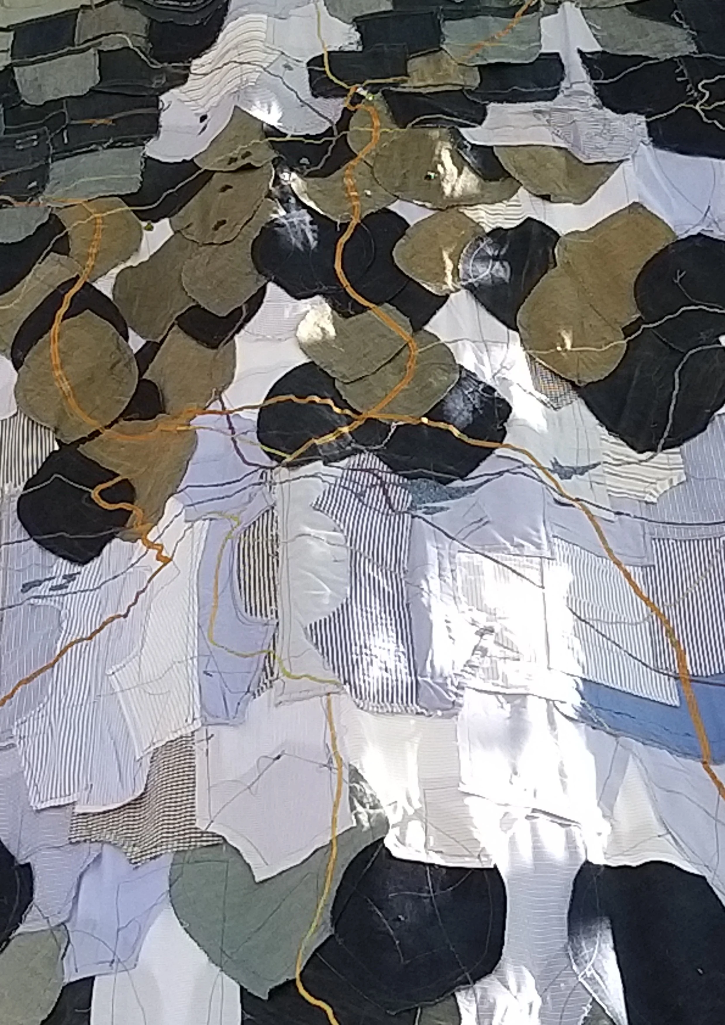
The topographical map is hung following the flow of the valley down into the Thames, and is made from old work shirts, trousers and jeans. The denim represents the high land areas, the shirts the lower, and the dark cord the valley (see topographical and google map below). Motorways, roads, rivers and train tracks are embroidered over the map using a sewing machine, and the hand stitched points depict points where six generations of his family have lived.
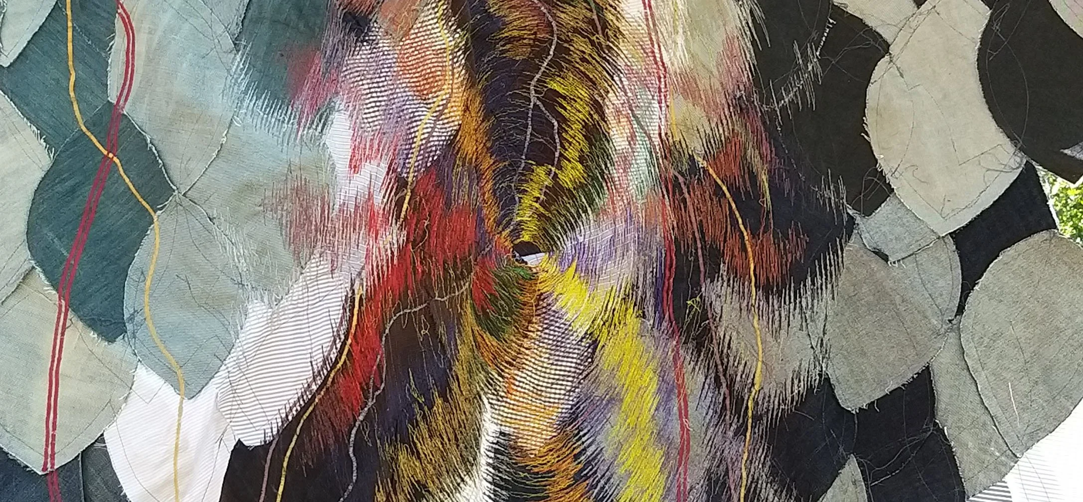
The work was inspired by Samuel Palmer, William Blake and the Ancients who at the end of the Industrial revolution were working in this valley and “looking back at a better age…and expressing a mystical vision of nature” (Tate.org.uk). The large embroidered elliptical shape emanates from where these artists were living and working in Shoreham.
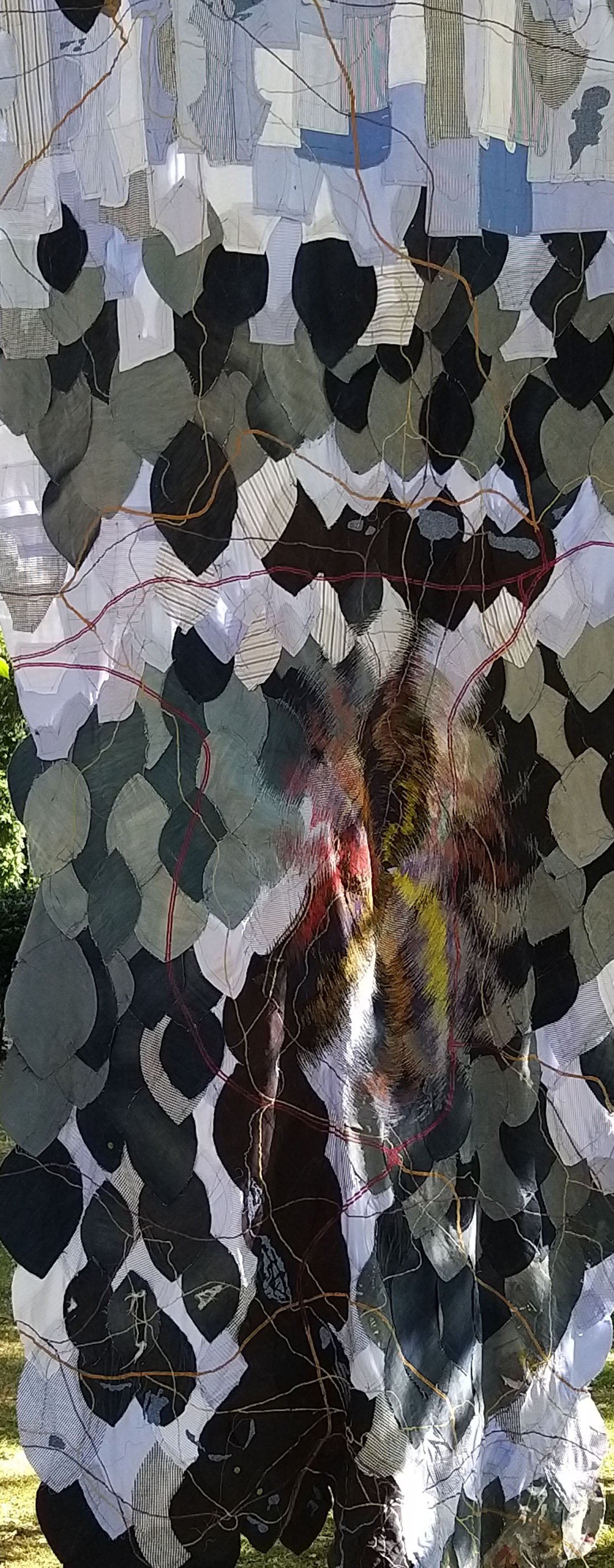
These small detailed pieces show follow the course of the A21 from north to south through Sevenoaks, Tonbridge and Tunbridge Wells